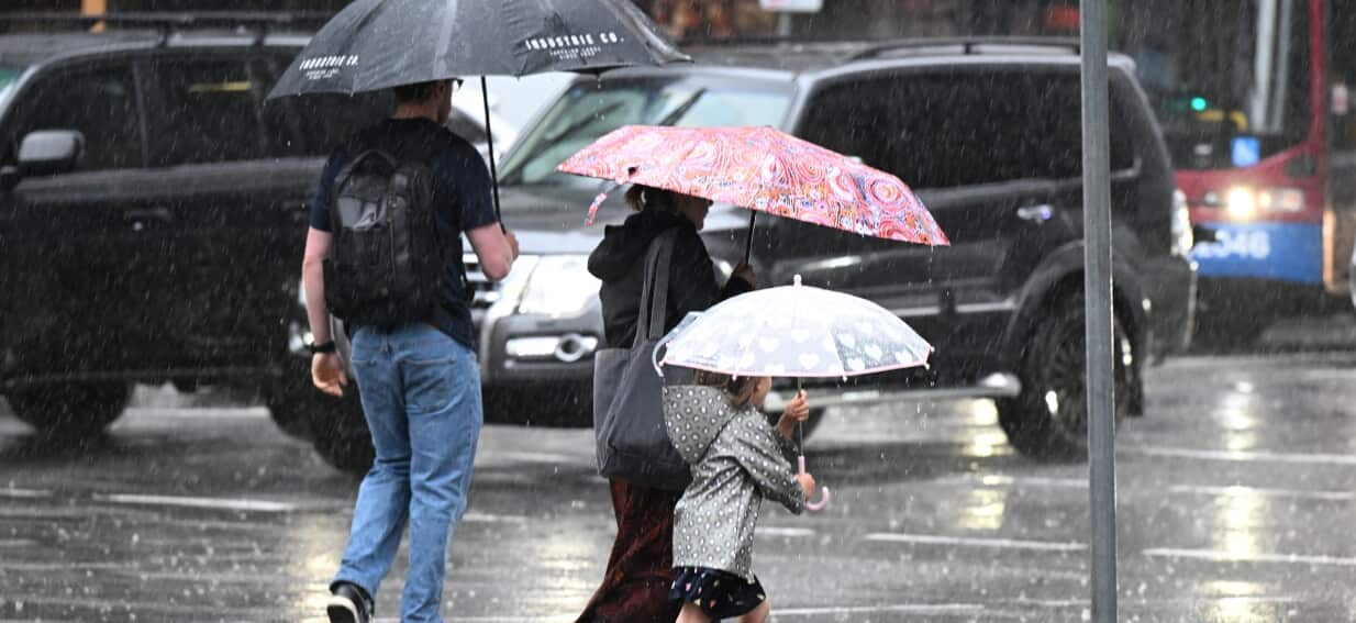
Stormy weekend forecast brings heavy rain and strong winds to much of the nation, with the Bureau of Meteorology warning of flash flooding, hail and disrupted travel on Saturday and Sunday.
What the Bureau of Meteorology predicts
The national weather service has issued a severe weather outlook for the eastern seaboard, the south‑west and parts of the north‑east. A deep low‑pressure system will move eastward across the continent, drawing moist tropical air inland and colliding with a cold front from the south. Expect rain totals of 30‑80mm in coastal New South Wales, Victoria and southern Queensland, with isolated bursts of up to 150mm in the highlands.
Wind gusts are forecast to reach 80‑100km/h in exposed coastal strips, particularly around the Tasman Sea and the Great Australian Bight. In the inland, the combination of strong gusts and heavy rain could trigger dust‑laden squalls, reducing visibility on rural highways.
Impacts on travel and events
Transport authorities have already begun to adjust timetables. Major airlines are reviewing flight plans for Sydney, Melbourne and Brisbane, and passengers are advised to check with their carriers before heading to the airport. Train services on the NSW TrainLink and V/Line networks may experience delays, especially on routes that cross flood‑prone river valleys.
Road users should anticipate road closures on the Pacific Highway between Coffs Harbour and Grafton, as well as on the Great Ocean Road where landslip risk is high. The Australian Transport Safety Bureau recommends allowing extra travel time and keeping an eye on live traffic feeds.
Sporting fixtures are also under review. The Australian Football League has postponed the match between the Sydney Swans and the Gold Coast Suns, while the Queensland Rugby Union is considering a venue shift for the upcoming derby.
Safety tips for households
With the storm set to hit overnight, families should prepare their homes now. Secure loose garden furniture, close all windows and doors, and move valuable items to higher ground if you live in a flood‑prone area. Keep a supply of non‑perishable food, bottled water and a fully charged mobile phone.
The Bureau of Meteorology advises residents to monitor local alerts via the Emergency Alert app. If evacuation orders are issued, follow the instructions of local councils and head to the nearest emergency centre. Do not attempt to drive through flooded roads – even shallow water can sweep a vehicle away.
Power and communication
Power outages are likely, especially in regional towns where overhead lines are vulnerable to wind‑blown debris. Keep flashlights, batteries and a portable charger handy. If you rely on a home broadband connection, consider a backup 4G router to stay connected.
Regional breakdown
New South Wales & Victoria: The south‑coast and alpine regions will see the heaviest rain. Snowfall is possible in the Snowy Mountains, with ski resorts preparing for a wet snow mix that could affect lift operations.
Queensland: The Sunshine Coast and Gold Coast will experience intense thunderstorms, with hailstones up to 2cm reported in recent model runs. Coastal surf clubs have issued high‑tide warnings.
Western Australia: Perth’s suburbs may see brief downpours, but the south‑west coast, from Margaret River to Albany, will face stronger winds and localized flooding.
Northern Territory & South Australia: While the centre of the continent remains dry, the Top End will see a surge of tropical moisture, bringing brief but heavy showers to Darwin and surrounding communities.
Overall, the stormy weekend forecast is a reminder that Australian weather can change rapidly. By staying informed, planning ahead and following safety guidelines, residents can minimise disruption and protect their property.
Comments
Post a Comment